35-30 GUERNSEY
county/comté/grafschaft
3 covered bridges/ponts
couverts/bedeckte holzbrücken

This symbol indicates this listing has been translated from English to French
and German by ATAWALK
Ce symbole indique que la traduction de cette liste fut effectuer à partir
de l'anglais au Français et à l'Allemand par ATAWALK
Dieses Symbol deutet darauf hin, dass diese Auflistung von ATAWALK vom Englischen
ins Französische und Deutsche übersetzt wurde.
THIS
SECTION OF ATAWALK IS DEDICATED TO THE MEMORY OF
Cette section d'ATAWALK.net est dédier à la mémoire
de /Dieser Abschnitt der ATAWALK.net widmet sich der Erinnerung an
James
E Reinoehl
|
35-30-04 |
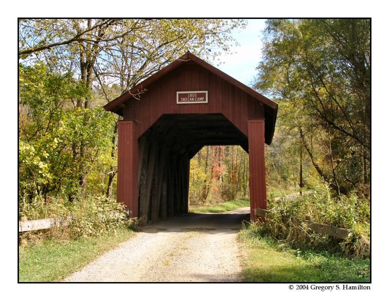
North-west of Cambridge on Knox Road TR 68 Au nord-ouest de Cambridge sur la TR68, le chemin Knox Nord-westlich von des Dorf Cambridge auf TR68, Knox Weg |
Indian Camp Run Ruisseau du camp Indien Indien Lager Bach |
Indian Camp Bridge Pont couvert du camp Indien Indien Lager |
5.3 miles north-west of OH209 on OH658 and right 0.1 mile on Knox Road TR68 to the bridge 5.3 au nord-ouest de la OH209 sur la OH568 et à droite sur le chemin Knox TR68 .1 mile vers le pont 5,3 Meilen nord-westlich von OH209 auf OH658 und rechts auf 0,1 Meile Knox Road TR68 auf der Brücke |
1 |
36' 11m |
Built in 1855, rehabilitated in 1999 Construit 1855, réhabilité en 1999 Gebaut in 1855, renoviert im Jahr 1999 |
Multiple King post truss Ferme à pointçon multiples Einfaches Hängewerk |

|
35-30-12 |
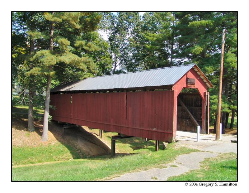
In the northern section of Cambridge at City Park. Au parc municipal dans la section nord de Cambridge In den nördlichen Teil von Cambridge am Stadt Park |
Ravine Ravin Schlucht |
Armstrong or Clio Bridge, closed to motor traffic Pont couvert Armstrong ou de Clio, fermé au véhicules moteur Armstrong oder Clio Holzbrücke, Fahrzeugverkehr verboten |
About 1 mile north of US22/40 Wheeling Ave. between 6th and 8th Streets on the north side on park access road Environ 1 mile au nord des US22/40, l’avenue Wheeling, entre les 6 et 8e rue au nord du chemin d’accès du parc municipal Ungfahr 1 Meile nördlich von US22/40 Wheeling Ave. zwischen 6. und 8. Straßen auf der Nordseite am Park Zufahrtsstraß |
1 |
76' 23.2m |
Built in 1849 at Clio, moved to Cambridge city park in 1966 Construit en 1849 à Clio, déménagé à Cambridge en 1966 Gebaut in 1849 in des Dorf Clio, umgebaut in Cambridge Stadtpark im Jahr 1966 |
Multiple King post truss Ferme à pointçon multiples Eiinfaches Hängewerk |

| 35-30-A |
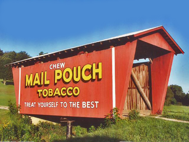
West of Cumberland in Spencer Township À l'ouest de Cumberland dans le canton Spencer Südlich von Cumberland in Landkreis Spencer |
Miller Creek Ruisseau Miller Miller Bach |
Mail Pouch Tobacco Bridge, private Pont couvert du tabac Mail Pouch, privé Mail-Pouch Holzbrücke, privat |
1 mile from OH83 on OH340 at the western edge of Cumberland on the south. side of the road. 1 mile de la OH83 sur la OH340 à la limite ouest de Cumberland du côté sud de la route 1 Meile von OH83 auf OH340 am westlichen Rand von Cumberland auf der Südseite der Straße. |
1 | 42' 12.8m |
Built in 1982 Construit en 1982 Gebaut in 1982 |
Stringer Poutres continues Trägbalken |

Foto Mark Comstock from the outstanding DALE TRAVIS web page!!!


